
Mosses topographic map
Interactive map
Click on the map to display elevation.
About this map
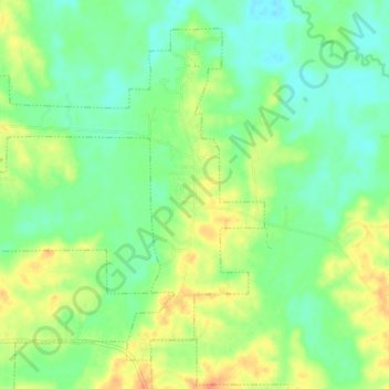
Name: Mosses topographic map, elevation, terrain.
Location: Mosses, Lowndes County, Alabama, États-Unis (32.14895 -86.73271 32.20260 -86.65866)
Average elevation: 187 ft
Minimum elevation: 135 ft
Maximum elevation: 266 ft