
八达岭镇 topographic map
Interactive map
Click on the map to display elevation.
About this map
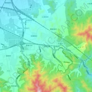
Name: 八达岭镇 topographic map, elevation, terrain.
Location: 八达岭镇, 延庆区, 延庆县 / Yanqing, Peking, China (40.32137 115.93184 40.40137 116.01184)
Average elevation: 2,136 ft
Minimum elevation: 1,627 ft
Maximum elevation: 3,990 ft