
Sardinas topographic map
Interactive map
Click on the map to display elevation.
About this map
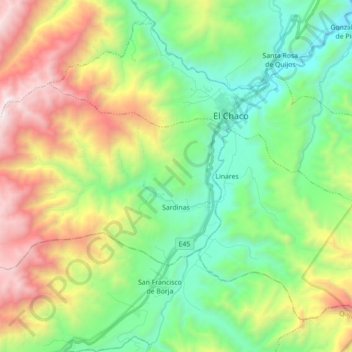
Name: Sardinas topographic map, elevation, terrain.
Location: Sardinas, Cantón El Chaco, Napo, Ecuador (-0.41566 -77.98690 -0.32224 -77.81109)
Average elevation: 7,126 ft
Minimum elevation: 4,511 ft
Maximum elevation: 12,083 ft