
Kangpokpi topographic map
Interactive map
Click on the map to display elevation.
About this map
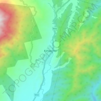
Name: Kangpokpi topographic map, elevation, terrain.
Location: Kangpokpi, Kangpoki, Kangpokpi, Manipur, 795129, India (25.11243 93.93149 25.19243 94.01149)
Average elevation: 4,357 ft
Minimum elevation: 2,969 ft
Maximum elevation: 8,087 ft