
Oued Taourira topographic map
Interactive map
Click on the map to display elevation.
About this map
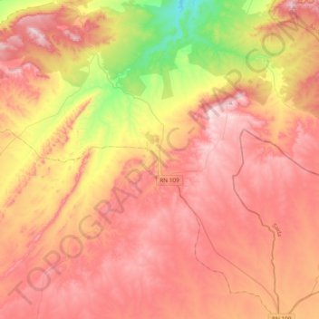
Name: Oued Taourira topographic map, elevation, terrain.
Location: Oued Taourira, Merine District, Sidi Bel Abbès, Algeria (34.45609 -0.57319 34.76502 -0.19681)
Average elevation: 3,724 ft
Minimum elevation: 2,621 ft
Maximum elevation: 4,541 ft