
Amguri topographic map
Interactive map
Click on the map to display elevation.
About this map
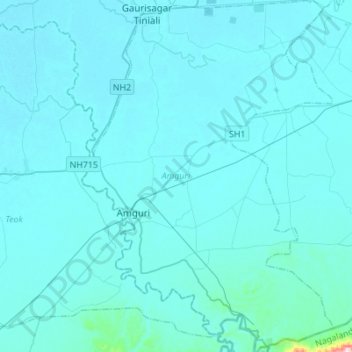
Name: Amguri topographic map, elevation, terrain.
Location: Amguri, Sivasagar, Assam, India (26.71255 94.48474 26.95780 94.68145)
Average elevation: 341 ft
Minimum elevation: 276 ft
Maximum elevation: 2,100 ft