
排楼乡 topographic map
Interactive map
Click on the map to display elevation.
About this map
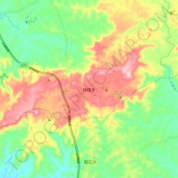
Name: 排楼乡 topographic map, elevation, terrain.
Location: 排楼乡, 广安市, 四川省, 中国 (30.42327 106.23101 30.50327 106.31101)
Average elevation: 1,142 ft
Minimum elevation: 853 ft
Maximum elevation: 1,506 ft