
Thinsaouin topographic map
Interactive map
Click on the map to display elevation.
About this map
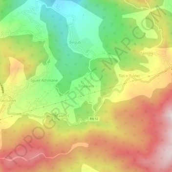
Name: Thinsaouin topographic map, elevation, terrain.
Location: Thinsaouin, Yakouren, Daïra Azazga, Tizi Ouzou, Algérie (36.71695 4.44183 36.75695 4.48183)
Average elevation: 2,418 ft
Minimum elevation: 1,309 ft
Maximum elevation: 3,550 ft