
Sidi Hadjeres topographic map
Interactive map
Click on the map to display elevation.
About this map
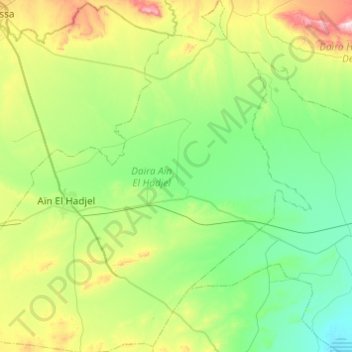
Name: Sidi Hadjeres topographic map, elevation, terrain.
Location: Sidi Hadjeres, Daïra Aïn El Hadjel, M'Sila, Algérie (35.50376 3.93188 35.89903 4.22163)
Average elevation: 1,847 ft
Minimum elevation: 1,335 ft
Maximum elevation: 3,412 ft