
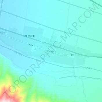
那拉提村 topographic map
Interactive map
Click on the map to display elevation.
About this map
Name: 那拉提村 topographic map, elevation, terrain.
Location: 那拉提村, 新源县, 伊犁哈萨克自治州, 新疆维吾尔自治区, 中国 (43.30074 83.99241 43.34074 84.03241)
Average elevation: 4,603 ft
Minimum elevation: 4,413 ft
Maximum elevation: 5,856 ft