
Kadabageri topographic map
Interactive map
Click on the map to display elevation.
About this map
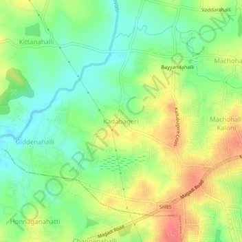
Name: Kadabageri topographic map, elevation, terrain.
Location: Kadabageri, Bangalore North, Bangalore Urban, Karnataka, India (12.97655 77.41338 13.01655 77.45338)
Average elevation: 2,776 ft
Minimum elevation: 2,684 ft
Maximum elevation: 2,890 ft