
港尾镇 topographic map
Interactive map
Click on the map to display elevation.
About this map
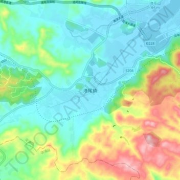
Name: 港尾镇 topographic map, elevation, terrain.
Location: 港尾镇, 龙海区, 漳州市, 福建省, 中国 (24.27607 117.96636 24.35607 118.04636)
Average elevation: 351 ft
Minimum elevation: -7 ft
Maximum elevation: 1,224 ft