
Salvenach topographic map
Interactive map
Click on the map to display elevation.
About this map
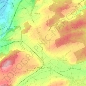
Name: Salvenach topographic map, elevation, terrain.
Location: Salvenach, Murten, Seebezirk, Freiburg, 1794, Schweiz (46.89134 7.13069 46.93134 7.17069)
Average elevation: 1,814 ft
Minimum elevation: 1,460 ft
Maximum elevation: 2,087 ft