
Cappel topographic map
Interactive map
Click on the map to display elevation.
About this map
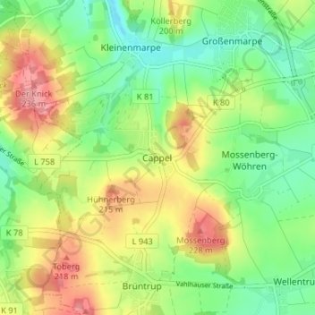
Name: Cappel topographic map, elevation, terrain.
Location: Cappel, Blomberg, Kreis Lippe, Nordrhein-Westfalen, Deutschland (51.93656 8.97920 51.97656 9.01920)
Average elevation: 587 ft
Minimum elevation: 443 ft
Maximum elevation: 784 ft