
Dyce topographic map
Interactive map
Click on the map to display elevation.
About this map
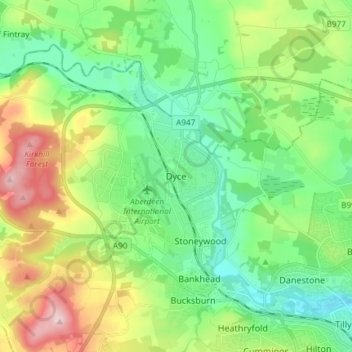
Name: Dyce topographic map, elevation, terrain.
Location: Dyce, Aberdeen, Scotland, AB21 7AU, United Kingdom (57.16538 -2.22953 57.24538 -2.14953)
Average elevation: 299 ft
Minimum elevation: 33 ft
Maximum elevation: 863 ft