
Fahy topographic map
Interactive map
Click on the map to display elevation.
About this map
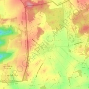
Name: Fahy topographic map, elevation, terrain.
Location: Fahy, District de Porrentruy, Jura, 2916, Suisse (47.40315 6.93841 47.43578 6.97860)
Average elevation: 1,903 ft
Minimum elevation: 1,670 ft
Maximum elevation: 2,054 ft