
Epworth Assembly topographic map
Interactive map
Click on the map to display elevation.
About this map
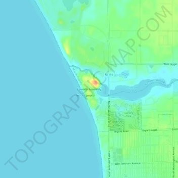
Name: Epworth Assembly topographic map, elevation, terrain.
Location: Epworth Assembly, Mason County, Michigan, 49431, USA (43.95945 -86.48564 43.99945 -86.44564)
Average elevation: 597 ft
Minimum elevation: 571 ft
Maximum elevation: 696 ft