
White Peak topographic map
Interactive map
Click on the map to display elevation.
About this map
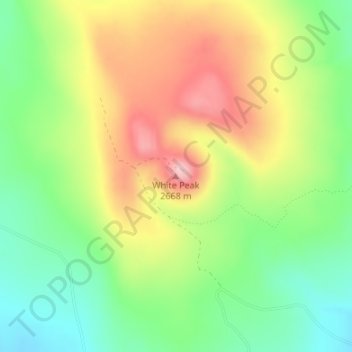
Name: White Peak topographic map, elevation, terrain.
Location: White Peak, Colfax County, Nieuw-Mexico, VS (36.29776 -105.02117 36.29786 -105.02107)
Average elevation: 8,445 ft
Minimum elevation: 8,173 ft
Maximum elevation: 8,780 ft
Other topographic maps
Click on a map to view its topography, its elevation and its terrain.
Rio Grande
VS > Nieuw-Mexico > La Joya
Rio Grande, Del Rio Camino, La Joya, Socorro County, Nieuw-Mexico, 87028-9998, VS
Average elevation: 4,928 ft