
Niaster topographic map
Interactive map
Click on the map to display elevation.
About this map
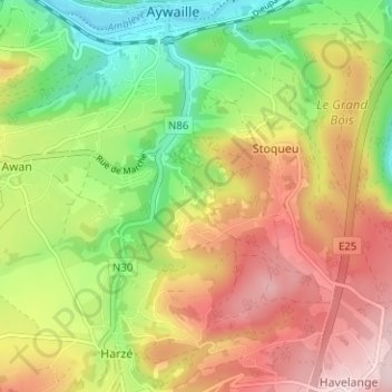
Name: Niaster topographic map, elevation, terrain.
Location: Niaster, Stoqueu, Aywaille, Liège, Wallonie, 4920, Belgique (50.43701 5.65997 50.47701 5.69997)
Average elevation: 810 ft
Minimum elevation: 374 ft
Maximum elevation: 1,273 ft