
Rockingham Castle topographic map
Interactive map
Click on the map to display elevation.
About this map
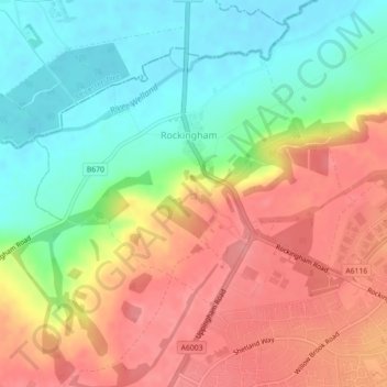
Name: Rockingham Castle topographic map, elevation, terrain.
Average elevation: 305 ft
Minimum elevation: 157 ft
Maximum elevation: 453 ft
Other topographic maps
Click on a map to view its topography, its elevation and its terrain.
Stanion
United Kingdom > England > Corby
Stanion, Corby, Northamptonshire, East Midlands, England, United Kingdom
Average elevation: 292 ft
Cottingham CP
United Kingdom > England > Corby
Cottingham CP, Corby, Northamptonshire, East Midlands, England, United Kingdom
Average elevation: 331 ft