
Zemeș topographic map
Interactive map
Click on the map to display elevation.
About this map
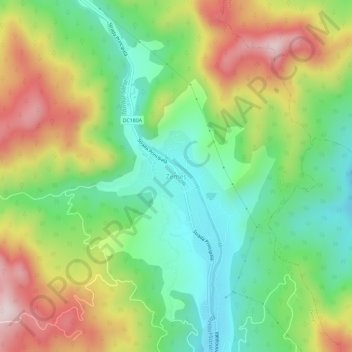
Name: Zemeș topographic map, elevation, terrain.
Location: Zemeș, Bacău, 607690, Romania (46.53364 26.44289 46.57364 26.48289)
Average elevation: 2,185 ft
Minimum elevation: 1,608 ft
Maximum elevation: 3,038 ft