
Riseten topographic map
Interactive map
Click on the map to display elevation.
About this map
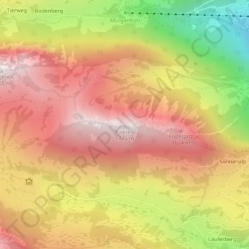
Name: Riseten topographic map, elevation, terrain.
Location: Riseten, Glarus Nord, Glarona, 8867, Svizzera (47.11333 9.02001 47.11343 9.02011)
Average elevation: 4,058 ft
Minimum elevation: 1,834 ft
Maximum elevation: 5,594 ft