
Bernal topographic map
Interactive map
Click on the map to display elevation.
About this map
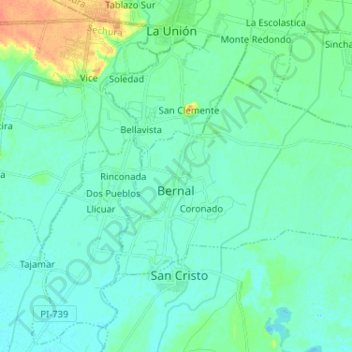
Name: Bernal topographic map, elevation, terrain.
Location: Bernal, Provincia de Sechura, Departamento de Piura, Perú (-5.49344 -80.76371 -5.42144 -80.63476)
Average elevation: 43 ft
Minimum elevation: 16 ft
Maximum elevation: 131 ft