
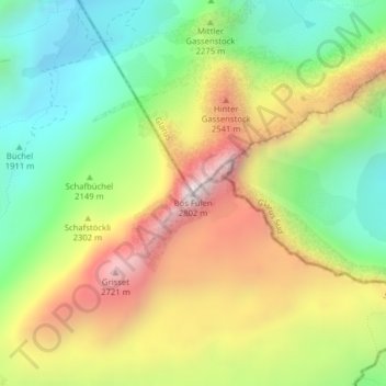
Bös Fulen topographic map
Interactive map
Click on the map to display elevation.
About this map
Name: Bös Fulen topographic map, elevation, terrain.
Location: Bös Fulen, Muotathal, Schwyz, Svitto, 6436, Svizzera (46.96707 8.94561 46.96717 8.94571)
Average elevation: 7,238 ft
Minimum elevation: 5,764 ft
Maximum elevation: 9,160 ft
Other topographic maps
Click on a map to view its topography, its elevation and its terrain.