
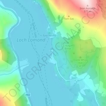
Rowardennan topographic map
Interactive map
Click on the map to display elevation.
About this map
Name: Rowardennan topographic map, elevation, terrain.
Location: Rowardennan, Stirling, Scotland, G63 0AR, United Kingdom (56.13043 -4.66107 56.17043 -4.62107)
Average elevation: 374 ft
Minimum elevation: 7 ft
Maximum elevation: 1,916 ft