
Bergerie de Croce topographic map
Interactive map
Click on the map to display elevation.
About this map
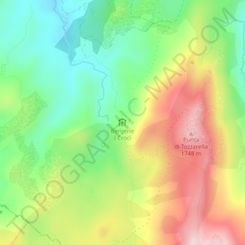
Name: Bergerie de Croce topographic map, elevation, terrain.
Average elevation: 5,135 ft
Minimum elevation: 4,652 ft
Maximum elevation: 5,771 ft
Other topographic maps
Click on a map to view its topography, its elevation and its terrain.
Monte Incudine
Monte Incudine, Zicavo, Ajaccio, Corse-du-Sud, Corse, France métropolitaine, 20132, France
Average elevation: 5,840 ft