
Melkouwen topographic map
Interactive map
Click on the map to display elevation.
About this map
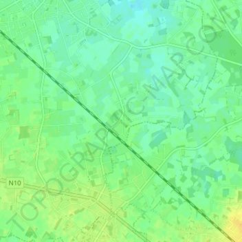
Name: Melkouwen topographic map, elevation, terrain.
Location: Melkouwen, Berlaar, Mechelen, Antwerpen, 2590, België (51.07622 4.65507 51.11622 4.69507)
Average elevation: 33 ft
Minimum elevation: 3 ft
Maximum elevation: 72 ft
Other topographic maps
Click on a map to view its topography, its elevation and its terrain.