
Beerzel topographic map
Interactive map
Click on the map to display elevation.
About this map
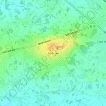
Name: Beerzel topographic map, elevation, terrain.
Location: Beerzel, Putte, Anvers, Flandre, 2580, Belgique (51.03862 4.64989 51.07862 4.68989)
Average elevation: 52 ft
Minimum elevation: 23 ft
Maximum elevation: 138 ft