
Vetta Orto Botanico delle Alpi Apuane topographic map
Interactive map
Click on the map to display elevation.
About this map
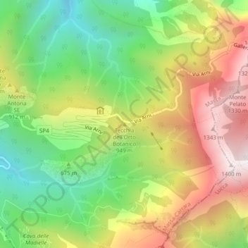
Name: Vetta Orto Botanico delle Alpi Apuane topographic map, elevation, terrain.
Average elevation: 2,543 ft
Minimum elevation: 906 ft
Maximum elevation: 4,514 ft
Other topographic maps
Click on a map to view its topography, its elevation and its terrain.