
Vakarai topographic map
Interactive map
Click on the map to display elevation.
About this map
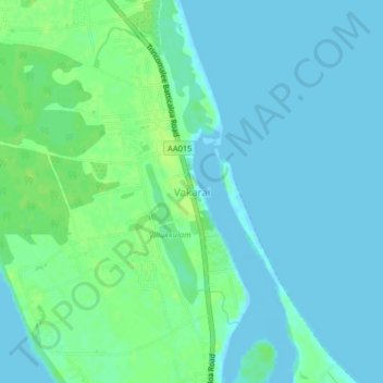
Name: Vakarai topographic map, elevation, terrain.
Location: Vakarai, Batticaloa District, Eastern Province, Sri Lanka (8.11338 81.41600 8.15338 81.45600)
Average elevation: 13 ft
Minimum elevation: -13 ft
Maximum elevation: 36 ft