
Sampaguita topographic map
Interactive map
Click on the map to display elevation.
About this map
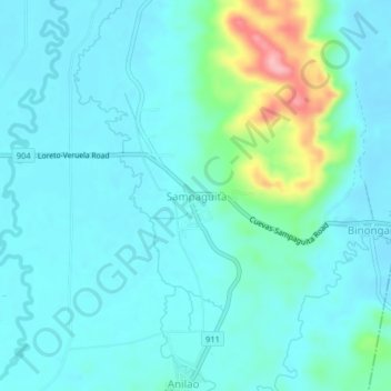
Name: Sampaguita topographic map, elevation, terrain.
Location: Sampaguita, Agusan del Sur, Caraga, 8512, Philippines (8.00064 125.93105 8.04064 125.97105)
Average elevation: 164 ft
Minimum elevation: 89 ft
Maximum elevation: 522 ft