
Redondo topographic map
Interactive map
Click on the map to display elevation.
About this map
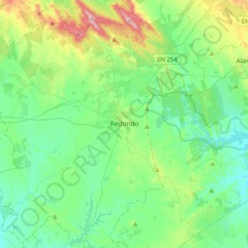
Name: Redondo topographic map, elevation, terrain.
Location: Redondo, Évora, Alentejo Central, Alentejo, Portugal (38.53712 -7.72566 38.75513 -7.48909)
Average elevation: 925 ft
Minimum elevation: 554 ft
Maximum elevation: 2,146 ft