
Pineland topographic map
Interactive map
Click on the map to display elevation.
About this map
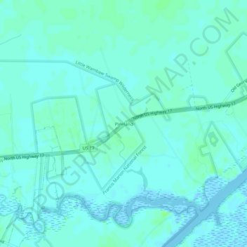
Name: Pineland topographic map, elevation, terrain.
Location: Pineland, Charleston County, South Carolina, USA (33.02350 -79.60729 33.06350 -79.56729)
Average elevation: 10 ft
Minimum elevation: -13 ft
Maximum elevation: 26 ft