
Vragender topographic map
Interactive map
Click on the map to display elevation.
About this map
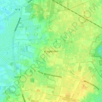
Name: Vragender topographic map, elevation, terrain.
Location: Vragender, Oost Gelre, Gelderland, Nederland, 7134, Nederland (51.96634 6.59170 52.00634 6.63170)
Average elevation: 102 ft
Minimum elevation: 62 ft
Maximum elevation: 141 ft