
Chansin topographic map
Interactive map
Click on the map to display elevation.
About this map
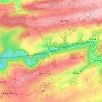
Name: Chansin topographic map, elevation, terrain.
Location: Chansin, Yvoir, Namen, Wallonië, 5530S, België (50.30619 4.95750 50.34619 4.99750)
Average elevation: 801 ft
Minimum elevation: 459 ft
Maximum elevation: 994 ft