
Highbank topographic map
Interactive map
Click on the map to display elevation.
About this map
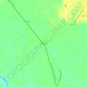
Name: Highbank topographic map, elevation, terrain.
Location: Highbank, Falls County, Texas, USA (31.14990 -96.85359 31.18990 -96.81359)
Average elevation: 325 ft
Minimum elevation: 289 ft
Maximum elevation: 358 ft