
Jesús del Monte topographic map
Interactive map
Click on the map to display elevation.
About this map
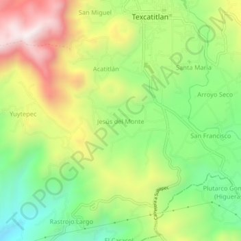
Name: Jesús del Monte topographic map, elevation, terrain.
Location: Jesús del Monte, Texcaltitlán, Estado de México, México (18.89276 -99.96609 18.93276 -99.92609)
Average elevation: 7,923 ft
Minimum elevation: 6,686 ft
Maximum elevation: 9,551 ft