
Chityala topographic map
Interactive map
Click on the map to display elevation.
About this map
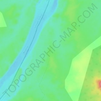
Name: Chityala topographic map, elevation, terrain.
Location: Chityala, Guntur, Andhra Pradesh, India (16.65753 79.97510 16.69753 80.01510)
Average elevation: 161 ft
Minimum elevation: 85 ft
Maximum elevation: 335 ft