
Greenford topographic map
Interactive map
Click on the map to display elevation.
About this map
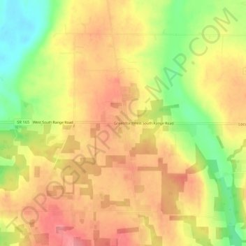
Name: Greenford topographic map, elevation, terrain.
Location: Greenford, Mahoning County, Ohio, USA (40.92395 -80.81147 40.96395 -80.77147)
Average elevation: 1,201 ft
Minimum elevation: 1,024 ft
Maximum elevation: 1,319 ft