
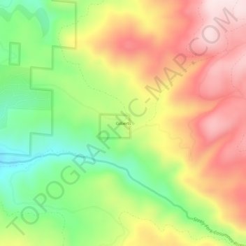
Gilberts topographic map
Interactive map
Click on the map to display elevation.
About this map
Name: Gilberts topographic map, elevation, terrain.
Location: Gilberts, El Dorado County, California, 95636, USA (38.61685 -120.51270 38.65685 -120.47270)
Average elevation: 4,337 ft
Minimum elevation: 3,609 ft
Maximum elevation: 5,072 ft