
Río Olmos topographic map
Interactive map
Click on the map to display elevation.
About this map
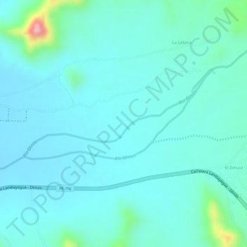
Name: Río Olmos topographic map, elevation, terrain.
Location: Río Olmos, El Desvio, Olmos, Lambayeque, Perú (-5.98805 -79.72253 -5.98028 -79.70334)
Average elevation: 725 ft
Minimum elevation: 623 ft
Maximum elevation: 1,230 ft