
Thank you for supporting this site ❤️
Make a donation
Make a donation
Gear up for your next adventure:
As an Amazon Associate, this site earns from qualifying purchases at no extra cost to you.
Straou topographic map
Click on the map to display elevation.
Thank you for supporting this site ❤️
Make a donation
Make a donation
Gear up for your next adventure:
As an Amazon Associate, this site earns from qualifying purchases at no extra cost to you.
About this map
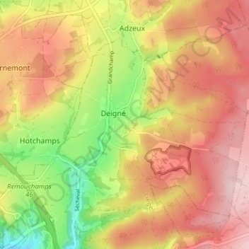
Name: Straou topographic map, elevation, terrain.
Location: Straou, Deigné, Aywaille, Liège, Wallonia, 4920, Belgium (50.48531 5.71228 50.52531 5.75228)
Average elevation: 902 ft
Minimum elevation: 499 ft
Maximum elevation: 1,204 ft
Thank you for supporting this site ❤️
Make a donation
Make a donation
Gear up for your next adventure:
As an Amazon Associate, this site earns from qualifying purchases at no extra cost to you.