
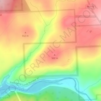
Natural Lands Trust Bear Creek Preserve - Dry Land Hill Parcel topographic map
Interactive map
Click on the map to display elevation.
About this map
Name: Natural Lands Trust Bear Creek Preserve - Dry Land Hill Parcel topographic map, elevation, terrain.
Average elevation: 1,663 ft
Minimum elevation: 1,342 ft
Maximum elevation: 1,919 ft