
Isla Verde topographic map
Interactive map
Click on the map to display elevation.
About this map
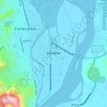
Name: Isla Verde topographic map, elevation, terrain.
Location: Isla Verde, Esmeraldas, Ecuador (0.94167 -79.65027 0.97600 -79.63284)
Average elevation: 79 ft
Minimum elevation: -7 ft
Maximum elevation: 850 ft