
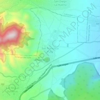
San Francisco Putla topographic map
Interactive map
Click on the map to display elevation.
About this map
Name: San Francisco Putla topographic map, elevation, terrain.
Average elevation: 9,190 ft
Minimum elevation: 8,730 ft
Maximum elevation: 10,594 ft