
La Manuelita topographic map
Interactive map
Click on the map to display elevation.
About this map
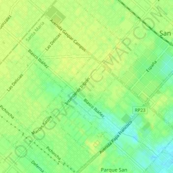
Name: La Manuelita topographic map, elevation, terrain.
Average elevation: 98 ft
Minimum elevation: 62 ft
Maximum elevation: 112 ft
Other topographic maps
Click on a map to view its topography, its elevation and its terrain.
Parque San Ignacio
Argentina > Buenos Aires > Santa María
Parque San Ignacio, Santa María, Partido de San Miguel, Buenos Aires, 1663, Argentina
Average elevation: 85 ft