
Cerro Mavicure topographic map
Interactive map
Click on the map to display elevation.
About this map
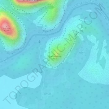
Name: Cerro Mavicure topographic map, elevation, terrain.
Location: Cerro Mavicure, Inírida, Guainía, RAP Amazonía, Colombia (3.45740 -67.96969 3.45750 -67.96959)
Average elevation: 427 ft
Minimum elevation: 249 ft
Maximum elevation: 1,857 ft