
Hochstetten topographic map
Interactive map
Click on the map to display elevation.
About this map
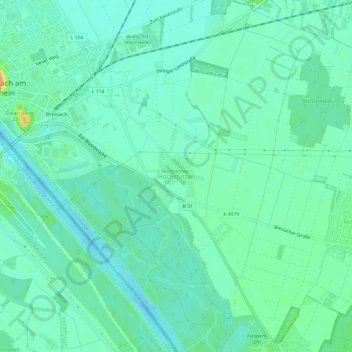
Name: Hochstetten topographic map, elevation, terrain.
Average elevation: 633 ft
Minimum elevation: 597 ft
Maximum elevation: 735 ft
Other topographic maps
Click on a map to view its topography, its elevation and its terrain.
Vieux Brisach
Allemagne > Bade-Wurtemberg > Arrondissement de Brisgau-Haute-Forêt-Noire > Vieux Brisach > Hochstetten
Vieux Brisach, Hochstetten, Vieux Brisach, VVG der Stadt Breisach am Rhein, Arrondissement de Brisgau-Haute-Forêt-Noire, Bade-Wurtemberg, 79206, Allemagne
Average elevation: 696 ft