
Ujong Tanoh Darat topographic map
Interactive map
Click on the map to display elevation.
About this map
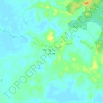
Name: Ujong Tanoh Darat topographic map, elevation, terrain.
Location: Ujong Tanoh Darat, Meureubo, Aceh Barat, Aceh, Indonesia (4.16897 96.20623 4.20897 96.24623)
Average elevation: 33 ft
Minimum elevation: 3 ft
Maximum elevation: 125 ft