
Sand a. Main topographic map
Interactive map
Click on the map to display elevation.
About this map
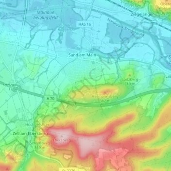
Name: Sand a. Main topographic map, elevation, terrain.
Location: Sand a. Main, Landkreis Haßberge, Beieren, 97522, Duitsland (49.95463 10.56721 50.00476 10.61569)
Average elevation: 928 ft
Minimum elevation: 712 ft
Maximum elevation: 1,493 ft